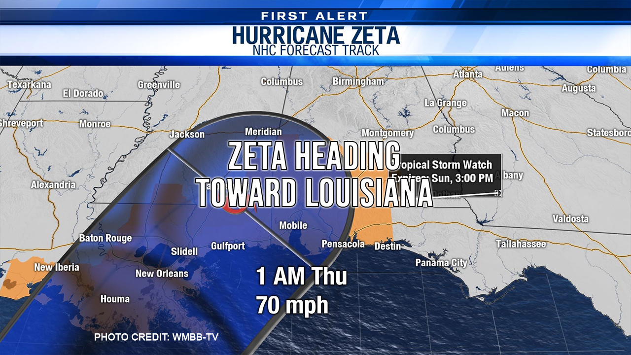
Zeta is now a hurricane but is expected to drop back to a Tropical Storm before making landfall. There is not much difference between a strong tropical storm and minimal hurricane. Some predictions have winds speed as high as 80 MPH when the center of the storm makes landfall on Louisiana coast. Effects will likely be felt well to the east of the center. Most of Zeta’s impact on the gulf coast will occur Wednesday afternoon and Wednesday night. Localized threats as far as the panhandle of Florida include dangerous surf, storm surge, strong winds, heavy rain, and a few tornadoes. Given the fast movement of the storm, tropical storm conditions could spread well inland.
Baldwin County, AL is now under a Tropical Storm Watch.
Escambia County, FL is now under a Tropical Storm watch. They are expecting 1-2 inches of rain and tropical storm force wind late Wednesday evening.
Rosa County is now under a tropical storm watch and surge watch. Any decision regarding county office closures or school closure will be made on Tuesday.
As of this time, there is no tropical storm watch for Walton County. Our next full update will be tomorrow after the 10:00 a.m. CT NHC advisory.
Even though no “devastating impacts” are expected in the area, Okaloosa Board of County Commissioners declared a local state of emergency for 7 days starting at noon today.
As with all weather prediction, this is a fluid situation. We will keep you posted as things develop.